
Country United States ZIP codes 61046, 61053 Elevation 270 m Local time Thursday 10:28 PM | Time zone CST (UTC-6) GNIS feature ID 0429028 Area 94.2 km² Population 695 (2010) | |
 | ||
Weather 3°C, Wind SE at 18 km/h, 67% Humidity | ||
Freedom Township is one of twelve townships in Carroll County, Illinois, USA. As of the 2010 census, its population was 695 and it contained 974 housing units.
Contents
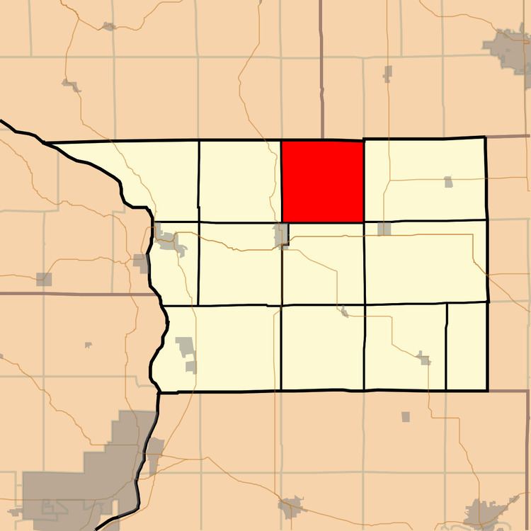
Map of Freedom Township, IL, USA
Geography
According to the 2010 census, the township has a total area of 36.37 square miles (94.2 km2), of which 35.75 square miles (92.6 km2) (or 98.30%) is land and 0.62 square miles (1.6 km2) (or 1.70%) is water.
Cemeteries
The township contains these four cemeteries: Arnolds Grove, Arnolds Grove Dunkard, Renner and Wolf.
School districts
Political districts
References
Freedom Township, Carroll County, Illinois Wikipedia(Text) CC BY-SA