
Source Georgia | ||
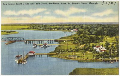 | ||
The Frederica River is an 11.0-mile-long (17.7 km) tidal river in Glynn County, Georgia. It forms the western boundary of Saint Simons Island of the Georgia Sea Islands. Fort Frederica National Monument is located on the eastern bank of the river on Saint Simons Island.
Map of Frederica River, Georgia, USA
References
Frederica River Wikipedia(Text) CC BY-SA