
Country United States Time zone Central (CST) (UTC-6) Elevation 292 m Local time Thursday 1:07 PM | State Iowa ZIP code 50036 Population 102 (2013) | |
 | ||
Weather 5°C, Wind SE at 32 km/h, 54% Humidity Area 228 ha (215 ha Land / 13 ha Water) | ||
Fraser is a city in Dodge Township, Boone County, Iowa, United States. The population was 102 at the 2010 census. It is part of the Boone, Iowa Micropolitan Statistical Area, which is a part of the larger Ames-Boone, Iowa Combined Statistical Area. The city is located along the Des Moines River.
Contents
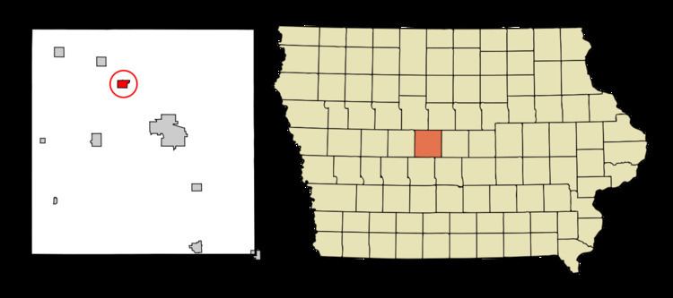
Map of Fraser, IA, USA
History
Fraser was platted in 1893 by the Fraser Coal Company. Within a couple decades, the coal mines were exhausted.
Geography
Fraser is located at 42°7′28″N 93°58′9″W (42.124335, -93.969278).
According to the United States Census Bureau, the city has a total area of 0.88 square miles (2.28 km2), of which, 0.83 square miles (2.15 km2) is land and 0.05 square miles (0.13 km2) is water.
2010 census
As of the census of 2010, there were 102 people, 43 households, and 29 families residing in the city. The population density was 122.9 inhabitants per square mile (47.5/km2). There were 63 housing units at an average density of 75.9 per square mile (29.3/km2). The racial makeup of the city was 98.0% White and 2.0% from two or more races.
There were 43 households of which 23.3% had children under the age of 18 living with them, 51.2% were married couples living together, 7.0% had a female householder with no husband present, 9.3% had a male householder with no wife present, and 32.6% were non-families. 23.3% of all households were made up of individuals and 7% had someone living alone who was 65 years of age or older. The average household size was 2.37 and the average family size was 2.79.
The median age in the city was 45 years. 18.6% of residents were under the age of 18; 8.9% were between the ages of 18 and 24; 22.6% were from 25 to 44; 37.2% were from 45 to 64; and 12.7% were 65 years of age or older. The gender makeup of the city was 51.0% male and 49.0% female.
2000 census
As of the census of 2000, there were 137 people, 49 households, and 34 families residing in the city. The population density was 164.8 people per square mile (63.7/km²). There were 55 housing units at an average density of 66.2 per square mile (25.6/km²). The racial makeup of the city was 96.35% White, 2.19% Native American, 0.73% from other races, and 0.73% from two or more races. Hispanic or Latino of any race were 1.46% of the population.
There were 49 households out of which 42.9% had children under the age of 18 living with them, 65.3% were married couples living together, 6.1% had a female householder with no husband present, and 28.6% were non-families. 20.4% of all households were made up of individuals and 2.0% had someone living alone who was 65 years of age or older. The average household size was 2.80 and the average family size was 3.31.
In the city, the population was spread out with 24.8% under the age of 18, 12.4% from 18 to 24, 29.9% from 25 to 44, 24.1% from 45 to 64, and 8.8% who were 65 years of age or older. The median age was 38 years. For every 100 females there were 110.8 males. For every 100 females age 18 and over, there were 110.2 males.
The median income for a household in the city was $40,313, and the median income for a family was $46,250. Males had a median income of $30,000 versus $20,536 for females. The per capita income for the city was $14,454. There were 2.8% of families and 5.1% of the population living below the poverty line, including 6.3% of under eighteens and none of those over 64.