
Country United States ZIP codes 47126, 47165, 47167 Elevation 262 m Local time Thursday 7:45 AM Area code 812 | Time zone EST (UTC-5) GNIS feature ID 0453315 Area 114.8 km² Population 2,301 (2010) | |
 | ||
Weather -8°C, Wind SW at 2 km/h, 80% Humidity | ||
Franklin Township is one of thirteen townships in Washington County, Indiana, United States. As of the 2010 census, its population was 2,301 and it contained 874 housing units.
Contents
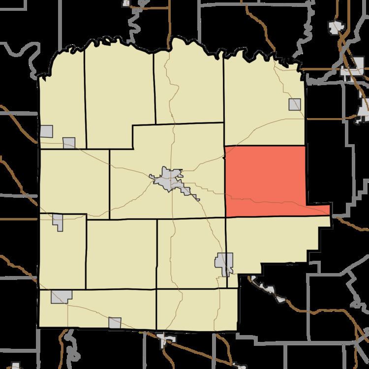
- Map of Franklin Township IN USA
- Geography
- Unincorporated towns
- Adjacent townships
- Cemeteries
- School districts
- Political districts
- References
Map of Franklin Township, IN, USA
Geography
According to the 2010 census, the township has a total area of 44.31 square miles (114.8 km2), of which 44.25 square miles (114.6 km2) (or 99.86%) is land and 0.06 square miles (0.16 km2) (or 0.14%) is water.
Unincorporated towns
(This list is based on USGS data and may include former settlements.)
Adjacent townships
Cemeteries
The township contains these five cemeteries: Beech Grove, Blue River Church, Bunker Hill, Conway, olive branch and Chestnut Hill.
School districts
Political districts
References
Franklin Township, Washington County, Indiana Wikipedia(Text) CC BY-SA