
Time zone CST (UTC-6) Elevation 241 m Local time Thursday 6:37 AM | Established November 6, 1849 ZIP codes 60145, 60146 Area 93.86 km² Population 2,502 (2010) | |
 | ||
Weather -9°C, Wind SW at 3 km/h, 78% Humidity | ||
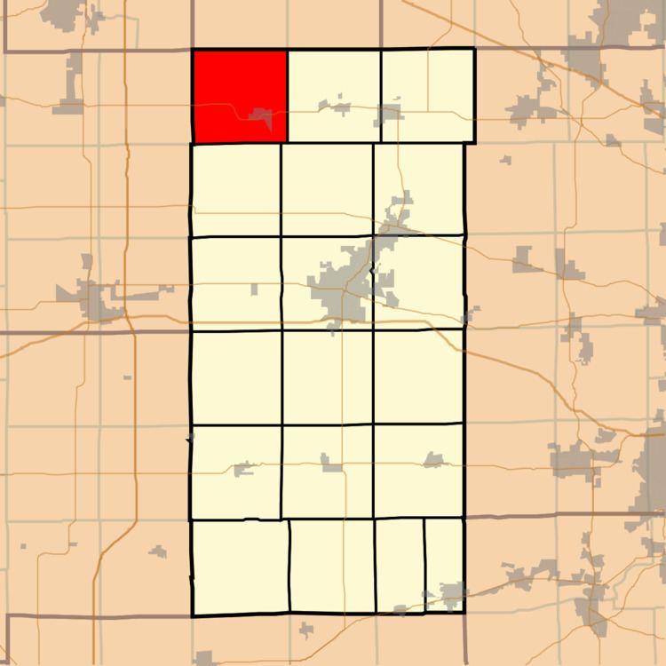
Franklin Township is one of nineteen townships in DeKalb County, Illinois, USA. As of the 2010 census, its population was 2,502 and it contained 950 housing units.
Contents
- Map of Franklin Township IL 60146 USA
- Geography
- Cities towns villages
- Unincorporated towns
- Cemeteries
- Airports and landing strips
- School districts
- Political districts
- References
Map of Franklin Township, IL 60146, USA
Geography
According to the 2010 census, the township has a total area of 36.24 square miles (93.9 km2), of which 35.86 square miles (92.9 km2) (or 98.95%) is land and 0.38 square miles (0.98 km2) (or 1.05%) is water.
Cities, towns, villages
Unincorporated towns
(This list is based on USGS data and may include former settlements.)
Cemeteries
The township contains these four cemeteries: Charter Oak, Hick's Mill, Maple and Pine Hill.
Airports and landing strips
School districts
Political districts
References
Franklin Township, DeKalb County, Illinois Wikipedia(Text) CC BY-SA