
Topo map USGS Peterson Prominence 153 m | Elevation 2,914 m | |
 | ||
Similar Grandview Peak, Lookout Peak, Ben Lomond Mountain, Mount Ogden, Mount Wire | ||
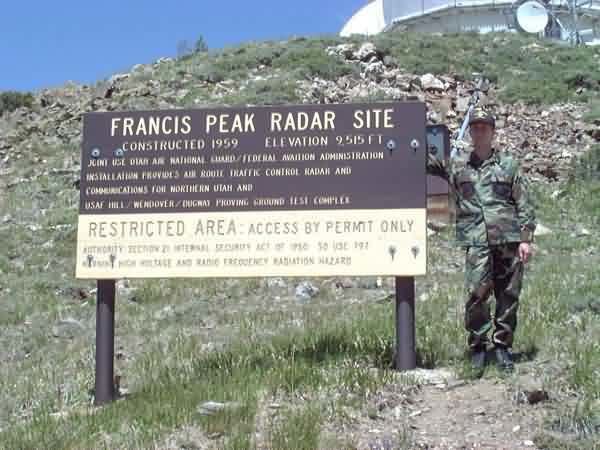
Francis Peak, Elevation 9,560 feet (2,910 m), was named in honor of an early pioneer, Esther Charlotte Emily Weisbrodt Francis, who contributed to the colonization of the Morgan Valley in Morgan county in Utah. One of the taller peaks of the Wasatch Range, Francis Peak is located on the border between Morgan and Davis counties, approximately 18 miles (29 km) north of Salt Lake City, Utah, United States.
Map of Francis Peak, Utah 84050, USA
The summit is accessible by hiking, biking, recreational vehicles, and automobile. Automobiles can access the peak via Skyline Drive in Bountiful and Farmington Canyon Road in Farmington. Camping sites, trails, small ponds, wildlife and great vistas are part of this rugged natural setting.
References
Francis Peak Wikipedia(Text) CC BY-SA