
Highest elevation 4 m (13 ft) Population uninhabited Area 5 ha Municipal unit Velipojë | County Shkodër Elevation 4 m Municipality Shkodër | |
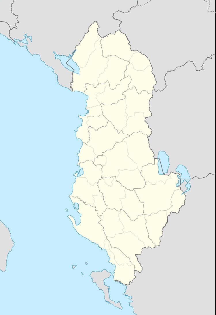 | ||
Location Buna River; Adriatic Sea | ||
Franz Joseph Island (or Franz Josef, Franc Jozeph, etc.) (Albanian: Ishulli i Franc Jozefit) is an island located at the mouth of the Buna River in Albania. The island is made up of rich alluvial soil and becomes a peninsula depending on the size of the river's flow. This island is an important nesting ground for many seabirds, especially the family Ardeidae.
Map of Franc Jozeph Island, Albania
The island is low ground covered with a sandy seashore and dominated by alder trees. The trees are 75 years of age and reach a height of 16 m (52 ft). The island receives few foreign tourists and attracts for its quietness.
The name was given to the island by Austrian cartographers in 1870. It is believed that the name was chosen in honor of the Emperor Franz Joseph I of Austria.
References
Franc Jozeph Island Wikipedia(Text) CC BY-SA