
Country United States City St. Louis ZIP code(s) Parts of 63104, 63118 Area 73 ha Population 2,632 (2010) | State Missouri Wards 6, 7 Website stlouis-mo.gov Area code 314 | |
 | ||
Restaurants Lona's Lil Eats, The Purple Martin, Kim Van Restaurant, Tanner B's, McDonal | ||
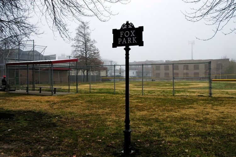
Fox Park is a neighborhood of St. Louis, Missouri. The neighborhood borders are Jefferson Avenue to the east, Interstate 44 to the north, Gravois Avenue to the south and Nebraska Avenue to the west. Surrounding neighborhoods include the Gate District, Compton Heights, Tower Grove East, Benton Park West and McKinley Heights.
Contents
Map of Fox Park, St. Louis, MO, USA
The neighborhood's most distinctive feature is St. Francis De Sales Catholic Church, located at the corner of Ohio Avenue and Gravois Avenue. Its 300-foot-tall (91 m) steeple is visible for miles around and has lent the church the nickname of "The Cathedral of South Saint Louis".
Demographics
In 2010 the neighborhood's population was 61.2% Black, 32.3% White, 0.4% Native American/Alaska Native, 0% Pacific Islander, 1.2% Asian, 2.5% Two or More Races, and 2.4% Some Other Race. 4.7% of the population was of Hispanic or Latino origin.