
Topo map USGS Four Peaks Elevation 2,334 m | Easiest route Scramble, class 3 Prominence 1,011 m | |
 | ||
Similar Piestewa Peak, Mount Ord, Weavers Needle, Picketpost Mountain, Camelback Mountain | ||
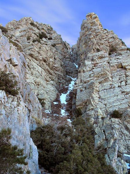
Four Peaks (Yavapai: Wi:khoba) is a prominent landmark on the eastern skyline of Phoenix. Part of the Mazatzal Mountains, it is located in the Four Peaks Wilderness. on the Tonto National Forest, 40 miles (64 km) east-northeast of Phoenix. In winter, Four Peaks offers much of the Phoenix metro area a view of snow-covered peaks. Four Peaks is the site of an amethyst mine that produces top-grade amethyst.
Map of Four Peaks, Arizona 85553, USA
The name Four Peaks is a reference to the four distinct peaks of a north–south ridge forming the massif's summit. The northernmost peak is named Brown's Peak and is the tallest of the four at 7,659 feet (2,334 m). It is the highest point in Maricopa County. The remaining summits are unnamed, and from north to south are 7,644 feet (2,330 m), 7,574 feet (2,309 m) and 7,526 feet (2,294 m) in elevation.