
FIPS code 19-28650 Elevation 444 m Zip code 51340 Population 250 (2013) | Time zone Central (CST) (UTC-6) GNIS feature ID 0456695 Area 122 ha Local time Wednesday 5:32 AM Area code 712 | |
 | ||
Weather -17°C, Wind SW at 5 km/h, 69% Humidity | ||
Fostoria is a city in Clay County, Iowa, United States. The population was 231 in the 2010 census, an increase from 230 in the 2000 census.
Contents
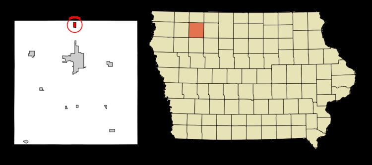
Map of Fostoria, IA, USA
Geography
Fostoria's longitude and latitude coordinates
in decimal form are 43.241539, -95.155039.
According to the United States Census Bureau, the city has a total area of 0.47 square miles (1.22 km2), all of it land.
2010 census
As of the census of 2010, there were 231 people, 87 households, and 63 families residing in the city. The population density was 491.5 inhabitants per square mile (189.8/km2). There were 94 housing units at an average density of 200.0 per square mile (77.2/km2). The racial makeup of the city was 96.5% White, 0.4% Asian, 0.9% from other races, and 2.2% from two or more races. Hispanic or Latino of any race were 2.6% of the population.
There were 87 households of which 36.8% had children under the age of 18 living with them, 57.5% were married couples living together, 8.0% had a female householder with no husband present, 6.9% had a male householder with no wife present, and 27.6% were non-families. 20.7% of all households were made up of individuals and 6.9% had someone living alone who was 65 years of age or older. The average household size was 2.66 and the average family size was 3.14.
The median age in the city was 39.3 years. 28.6% of residents were under the age of 18; 3% were between the ages of 18 and 24; 27.8% were from 25 to 44; 30.8% were from 45 to 64; and 10% were 65 years of age or older. The gender makeup of the city was 51.1% male and 48.9% female.
2000 census
As of the census of 2000, there were 230 people, 95 households, and 70 families residing in the city. The population density was 483.7 people per square mile (185.0/km²). There were 97 housing units at an average density of 204.0 per square mile (78.0/km²). The racial makeup of the city was 96.96% White, 0.43% African American, 0.87% Asian, 0.43% from other races, and 1.30% from two or more races. Hispanic or Latino of any race were 0.87% of the population.
There were 95 households out of which 36.8% had children under the age of 18 living with them, 60.0% were married couples living together, 9.5% had a female householder with no husband present, and 26.3% were non-families. 20.0% of all households were made up of individuals and 6.3% had someone living alone who was 65 years of age or older. The average household size was 2.42 and the average family size was 2.77.
In the city, the population was spread out with 26.5% under the age of 18, 2.6% from 18 to 24, 36.1% from 25 to 44, 22.6% from 45 to 64, and 12.2% who were 65 years of age or older. The median age was 37 years. For every 100 females there were 100.0 males. For every 100 females age 18 and over, there were 92.0 males.
The median income for a household in the city was $38,750, and the median income for a family was $42,250. Males had a median income of $30,313 versus $20,125 for females. The per capita income for the city was $15,952. None of the families and 2.2% of the population were living below the poverty line, including no under eighteens and 12.0% of those over 64.