
Country United States FIPS code 29-25228 Elevation 262 m Zip code 64437 Population 30 (2013) | Time zone Central (CST) (UTC-6) GNIS feature ID 0718111 Area 21 ha Local time Wednesday 1:39 AM Area code 660 | |
 | ||
Weather -8°C, Wind NE at 8 km/h, 75% Humidity | ||
Fortescue is a village in Holt County, Missouri, United States. The population was 32 at the 2010 census.
Contents
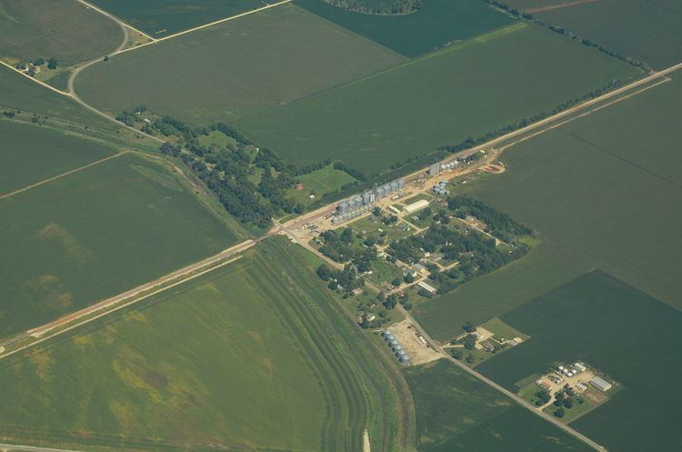
Map of Fortescue, MO 64437, USA
History
Fortescue was founded in about 1884. An early railroad promoter named Fortesque gave the community the maiden name of his mother. A post office called Fortescue was established in 1884, and remained in operation until 1973.
Geography
Fortescue is located at 40°3′7″N 95°19′4″W (40.051970, -95.317731).
According to the United States Census Bureau, the village has a total area of 0.08 square miles (0.21 km2), all of it land.
2010 census
As of the census of 2010, there were 32 people, 10 households, and 9 families residing in the village. The population density was 400.0 inhabitants per square mile (154.4/km2). There were 16 housing units at an average density of 200.0 per square mile (77.2/km2). The racial makeup of the village was 100.0% White.
There were 10 households of which 40.0% had children under the age of 18 living with them, 80.0% were married couples living together, 10.0% had a male householder with no wife present, and 10.0% were non-families. 0.0% of all households were made up of individuals. The average household size was 3.20 and the average family size was 3.33.
The median age in the village was 31 years. 34.4% of residents were under the age of 18; 6.3% were between the ages of 18 and 24; 28.2% were from 25 to 44; 28.2% were from 45 to 64; and 3.1% were 65 years of age or older. The gender makeup of the village was 43.8% male and 56.3% female.
2000 census
As of the census of 2000, there were 51 people, 18 households, and 10 families residing in the town. The population density was 674.1 people per square mile (246.1/km²). There were 23 housing units at an average density of 304.0 per square mile (111.0/km²). The racial makeup of the town was 100.00% White.
There were 18 households out of which 61.1% had children under the age of 18 living with them, 44.4% were married couples living together, and 38.9% were non-families. 38.9% of all households were made up of individuals and 11.1% had someone living alone who was 65 years of age or older. The average household size was 2.83 and the average family size was 3.82.
In the town the population was spread out with 41.2% under the age of 18, 7.8% from 18 to 24, 35.3% from 25 to 44, 11.8% from 45 to 64, and 3.9% who were 65 years of age or older. The median age was 26 years. For every 100 females there were 131.8 males. For every 100 females age 18 and over, there were 172.7 males.
The median income for a household in the town was $26,250, and the median income for a family was $28,125. Males had a median income of $33,125 versus $11,250 for females. The per capita income for the town was $5,695. There were 38.5% of families and 29.5% of the population living below the poverty line, including 21.4% of under eighteens and none of those over 64.