
Country United States Time zone Pacific (PST) (UTC-8) Elevation 1,348 m Population 341 (2010) | FIPS code 32-25490 Area 46.4 km² Area code 775 | |
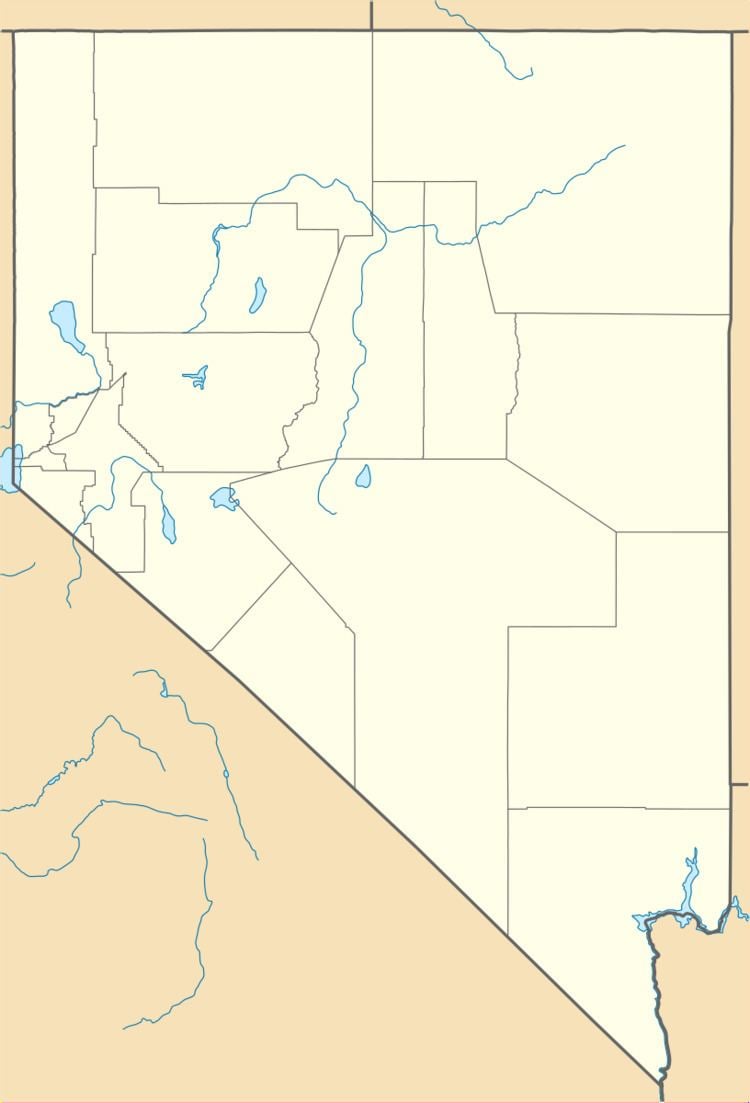 | ||
Fort McDermitt is a census-designated place (CDP) in Humboldt County, Nevada, United States. The population was 341 at the 2010 census. It overlaps the Fort McDermitt Indian Reservation and lies just south of the McDermitt CDP.
Geography
According to the United States Census Bureau, the Fort McDermitt CDP has an area of 17.9 square miles (46.4 km2), all land. U.S. Route 95 runs through the CDP, leading north to Oregon and western Idaho and south 70 miles (110 km) to Winnemucca, Nevada.
References
Fort McDermitt, Nevada Wikipedia(Text) CC BY-SA