
Width 1.5 km (0.93 mi) Population <10 (2012) Area 7.5 km² | Length 6.5 km (4.04 mi) Highest elevation 356 m (1,168 ft) Elevation 356 m | |
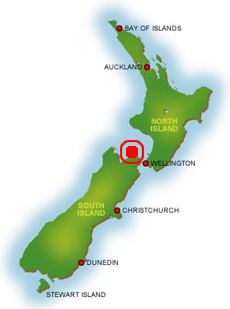 | ||
Forsyth Island lies in the outer Marlborough Sounds of New Zealand's South Island and is separated from the mainland by the 300m wide Allen Strait (also known as Guards Pass). The island comprises a mixture of farm land and native bush on hills rising to over 350 metres (1,148 ft) with views into the Marlborough Sounds and east towards the North Island.
Map of Forsyth Island, Anakoha, New Zealand
As of 2012, it is one of the largest entirely privately owned islands in the South Pacific, and offers exclusive accommodation, accessible via helicopter and boat.
Forsyth Island is connected to electricity and phone via a cable across Allen Strait and is serviced weekly by a mail boat from Havelock.
References
Forsyth Island (New Zealand) Wikipedia(Text) CC BY-SA