
Time zone UTC-3 (UTC-3) Area 16,185 km² Local time Tuesday 7:37 PM | Founded December 22, 1961 HDI (2000) 0.646 – medium Population 21,827 (2008) | |
 | ||
Weather 26°C, Wind SE at 5 km/h, 79% Humidity | ||
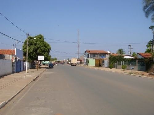
Formosa do Rio Preto is the westernmost and largest (by area) city in the Brazilian state of Bahia. It is also the largest in all Northeastern Brazil.
Map of Formosa do Rio Preto - State of Bahia, Brazil
The municipality contains part of the 707,079 hectares (1,747,230 acres) Serra Geral do Tocantins Ecological Station, a strictly protected conservation unit created in 2001 to preserve an area of cerrado. It also contains part of the 724,324 hectares (1,789,840 acres) Nascentes do Rio Parnaíba National Park, created in 2002.
References
Formosa do Rio Preto Wikipedia(Text) CC BY-SA