
Population 394 (2011 census) Postal code 4342 | Postcode(s) 4342 Local time Wednesday 3:43 AM | |
 | ||
Weather 21°C, Wind E at 14 km/h, 92% Humidity | ||
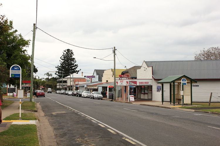
Forest Hill is a town and locality in the Lockyer Valley Region in South East, Queensland, Australia. The town is located 83 kilometres (52 mi) west of the state capital, Brisbane and 53 kilometres (33 mi) east of the regional centre of Toowoomba. At the 2011 census, Forest Hill had a population of 394.
Contents
Map of Forest Hill QLD 4342, Australia
History
Forest Hill Post Office opened on 1 February 1890 (replacing a receiving office named Forest Hill Siding open since 1889).
Forest Hill Provisional School opened on 23 January 1893, becoming a state school in 1899.
Forest Hill was once home to five hotels, a hospital, a bakery and butcher, and was the largest rail freight hub for agricultural produce in Queensland.
The Forest Hill War Memorial was erected to commemorate those in the district who had died or served in World War I. It was unveiled by five mothers of deceased soldiers on 26 March 1921.
During the 2010–2011 Queensland floods, much of the population of Forest Hill was required to be evacuated by helicopter to nearby Gatton to avoid rapidly rising floodwaters.
Heritage listings
Forest Hill has a number of heritage-listed sites, including: