
Country United States Time zone Central (CST) (UTC-6) Elevation 349 m Zip code 58231 Local time Tuesday 9:52 AM | Founded 1905 FIPS code 38-27060 Area 2.62 km² Population 209 (2013) Area code 701 | |
 | ||
Weather -12°C, Wind S at 8 km/h, 81% Humidity | ||
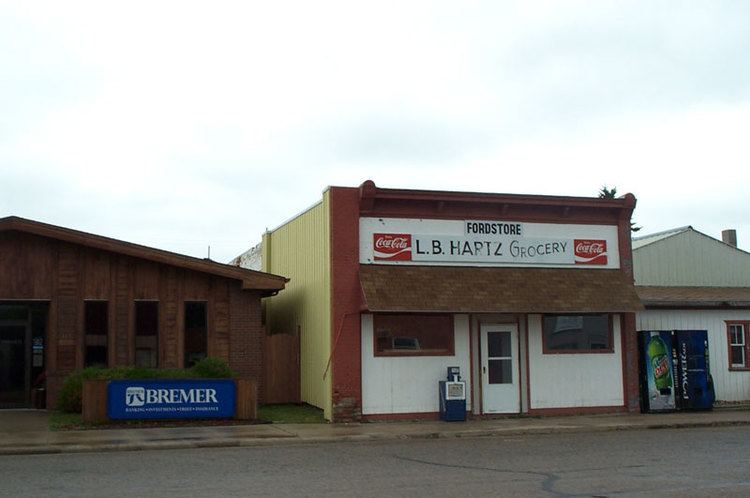
Fordville is a city in Walsh County, North Dakota, United States. The population was 212 at the 2010 census. Fordville was founded in 1905.
Contents
Map of Fordville, ND 58231, USA
Geography
Fordville is located at 48°13′1″N 97°47′36″W (48.216936, −97.793307).
According to the United States Census Bureau, the city has a total area of 1.01 square miles (2.62 km2), all of it land.
2010 census
As of the census of 2010, there were 212 people, 101 households, and 53 families residing in the city. The population density was 209.9 inhabitants per square mile (81.0/km2). There were 121 housing units at an average density of 119.8 per square mile (46.3/km2). The racial makeup of the city was 94.3% White, 0.5% Native American, 0.5% Asian, 2.8% from other races, and 1.9% from two or more races. Hispanic or Latino of any race were 7.5% of the population.
There were 101 households of which 25.7% had children under the age of 18 living with them, 43.6% were married couples living together, 5.9% had a female householder with no husband present, 3.0% had a male householder with no wife present, and 47.5% were non-families. 44.6% of all households were made up of individuals and 21.8% had someone living alone who was 65 years of age or older. The average household size was 2.10 and the average family size was 2.98.
The median age in the city was 44.5 years. 21.2% of residents were under the age of 18; 7.5% were between the ages of 18 and 24; 21.3% were from 25 to 44; 27.3% were from 45 to 64; and 22.6% were 65 years of age or older. The gender makeup of the city was 49.5% male and 50.5% female.
2000 census
As of the census of 2000, there were 266 people, 115 households, and 73 families residing in the city. The population density was 265.2 people per square mile (102.7/km²). There were 131 housing units at an average density of 130.6 per square mile (50.6/km²). The racial makeup of the city was 95.11% White, 0.75% African American, 3.38% Native American, 0.38% from other races, and 0.38% from two or more races. Hispanic or Latino of any race were 1.13% of the population.
There were 115 households out of which 33.0% had children under the age of 18 living with them, 50.4% were married couples living together, 7.8% had a female householder with no husband present, and 35.7% were non-families. 34.8% of all households were made up of individuals and 15.7% had someone living alone who was 65 years of age or older. The average household size was 2.31 and the average family size was 2.97.
In the city, the population was spread out with 27.8% under the age of 18, 5.6% from 18 to 24, 23.3% from 25 to 44, 20.7% from 45 to 64, and 22.6% who were 65 years of age or older. The median age was 39 years. For every 100 females there were 98.5 males. For every 100 females age 18 and over, there were 102.1 males.
The median income for a household in the city was $26,786, and the median income for a family was $40,000. Males had a median income of $25,875 versus $20,250 for females. The per capita income for the city was $12,516. About 17.9% of families and 16.6% of the population were below the poverty line, including 16.3% of those under the age of eighteen and 17.2% of those sixty five or over.