
- location near Lavers Hill - location east of Glenaire Source Great Otway National Park | - elevation 448 m (1,470 ft) - elevation 0 m (0 ft) Mouth Aire River | |
 | ||
The Ford River is a perennial river of the Corangamite catchment, located in The Otways region of the Australian state of Victoria.
Contents
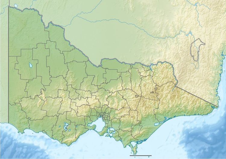
Map of Ford River, Victoria, Australia
Location and features
The headwaters of the Ford River rise in the Otway Ranges in southwest Victoria, near Lavers Hill and flows generally east by south through the Port Campbell National Park towards the town of Glenaire where the river heads east and reaches its confluence with the Aire River, northwest of Cape Otway. From its highest point, the river descends 386 metres (1,266 ft) over its 15-kilometre (9.3 mi) course.
References
Ford River (Victoria) Wikipedia(Text) CC BY-SA