Main source 800 m (2,600 ft) Basin size 312 km (120 sq mi) Discharge 0.28 m³/s Mouth Mediterranean Sea Country Spain | River mouth Mediterranean Sea Length 41 km Source elevation 800 m Province Province of Barcelona | |
 | ||
Similar Castellet Castle, Castell De Penyafort, Garraf Massif, Fluvià, Tordera | ||
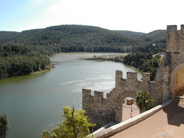
The Foix ([ˈfoʃ]) is a river in Catalonia in the province of Barcelona, northeastern Spain. Its source is near La Llancuna in the Comarca of Anoia 800 m above the sea. Later it runs through the Comarca of Alt Penedès, where it feeds a reservoir in the nature reserve of Parc del Foix since 1928, which is highly important for the drinking water supply of the densely populated coastal plain between Barcelona and Tarragona. Then it goes through the Comarca of Garraf from north to the south where it ends into the Mediterranean Sea west of the village of Cubelles. This little delta became an important natural reserve and recreational area after the campground ″Camping Paradiso″ was removed in the late 1990s.
Map of El Foix, Barcelona, Spain
For most of the year, the river is dried up because of the dam and because of hot-summer climatical reasons. That can suddenly change in the winter months when heavy rain comes down in the mountains.
