
Topo map OS Landranger 115 Prominence 40 m | Pronunciation Welsh: [ˈvɔil ˈɡɾɑːx] OS grid SH689659 Elevation 977 m | |
 | ||
Similar Carnedd Gwenllian, Foel‑fras, Carnedd Llewelyn, Yr Elen, Carnedd Dafydd | ||
Foel Grach is a mountain in the Carneddau range, is the eighth-highest summit in Snowdonia as well as Wales, and therefore included the Welsh 3000s.
Map of Foel Grach, Bangor, UK
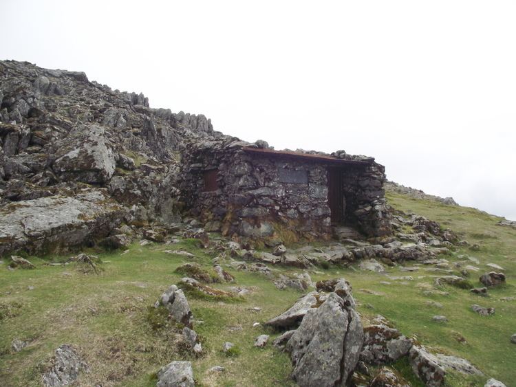
It is located on a broad ridge extending northwards from Carnedd Llewelyn to Garnedd Uchaf and Foel-fras. An emergency refuge has been built beneath the summit. Compared to the surrounding mountains much deeper snow takes place due to its rather broad summit and high grassy slopes. On clear days the Isle of Man and even the Mourne Mountains in Northern Ireland can be seen Northwards from the summit.
References
Foel Grach Wikipedia(Text) CC BY-SA