
Population (2006) 268 | Region Occitanie Canton Martel Area 19.02 km² | |
 | ||
Intercommunality Communauté de communes du Pays de Martel | ||
Floirac is a commune in the Lot department (46) in south-western France.
Contents
- Map of 46600 Floirac France
- Geography
- Neighbour towns
- Politics
- Objects of interest
- Notable People
- References
Map of 46600 Floirac, France
Geography
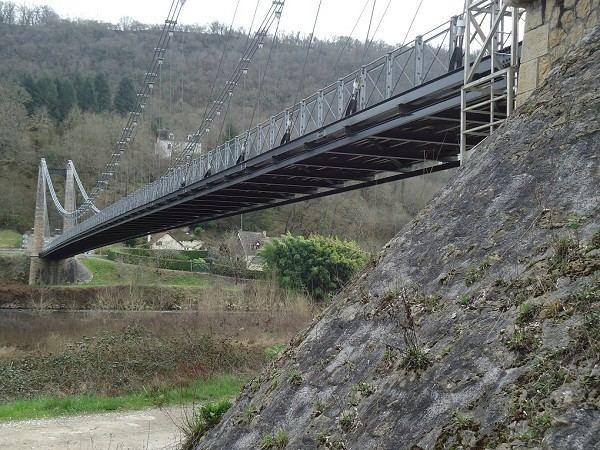
Floirac has a surface of 19,02 km² and has 268 inhabitants (as of 2006), which makes a population density of 14 inhabitants per km². The coordinates are 44° 55' N and 1° 39' E. The altitude varies between 90 und 345 metres above sea level with an average of 132 metres. The River Dordogne is flowing through the town. The Département street D 43 and a single track railway crosses it.
Neighbour towns
Politics
The mayor of Floirac since March 2001 is Frédéric Bonnet-Madin.
Objects of interest
Notable People
References
Floirac, Lot Wikipedia(Text) CC BY-SA