
Gaelic name Flodaigh OS grid reference NB104333 Area 39 ha | Meaning of name "flat island" Highest elevation 48 metres (157 ft) Island group Outer Hebrides Lieutenancy area Outer Hebrides | |
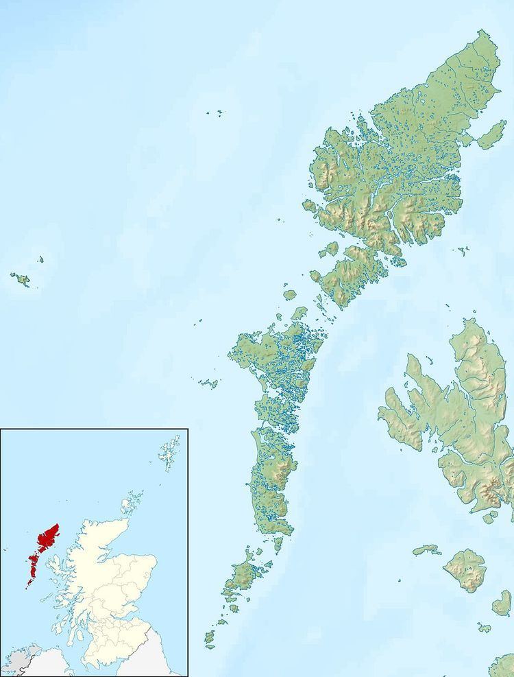 | ||
Flodaigh is a small island in Loch Roag on the west coast of Lewis in the Outer Hebrides of Scotland. It is about 33 hectares (82 acres) in extent and the highest point is 48 metres (157 ft). Its name derives from the Old Norse for "flat island".
Map of Flodaigh, United Kingdom
Inland, the nearest settlement is opposite the hamlet of Cairisiadar. The island was last inhabited in 1827 when it was cleared to make way for a sheep farm.
The small islet of Gousam lies to the north east and the larger islands of Fuaigh Beag and Fuaigh Mòr further east.
References
Flodaigh, Lewis Wikipedia(Text) CC BY-SA