
Type Road Major suburbs Parkville Via Parkville | Route number(s) State Route 60 Length 2 km Major cities Melbourne, Parkville | |
 | ||
Former
route number National Route 1
Alternate National Route 1
National Highway 8
National Route 79 Southeast end Elizabeth / Peel Streets (State Route 55), Carlton Northwest end CityLink (M2/State Route 43), North Melbourne | ||
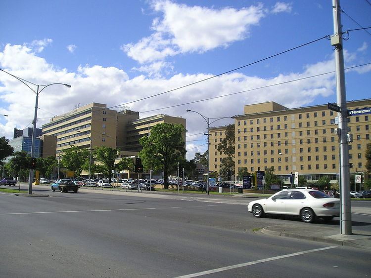
Flemington Road is a major thoroughfare in the inner suburbs of North Melbourne and Parkville in Melbourne, Victoria, Australia. It runs from the north end of Elizabeth Street to the south end of Mount Alexander Road, Flemington, and provides a main connection between the Melbourne CBD and the northern arm of the CityLink tollway.
Map of Flemington Rd, Victoria, Australia
The road is the location of the Royal Children's Hospital, the Royal Melbourne Hospital, and the southern border of Royal Park. The road consists of four car lanes and one tram track lane in both directions, and is serviced by Melbourne tram numbers 55, 57 and 59.
References
Flemington Road, Melbourne Wikipedia(Text) CC BY-SA