Population Uninhabited | ||
 | ||
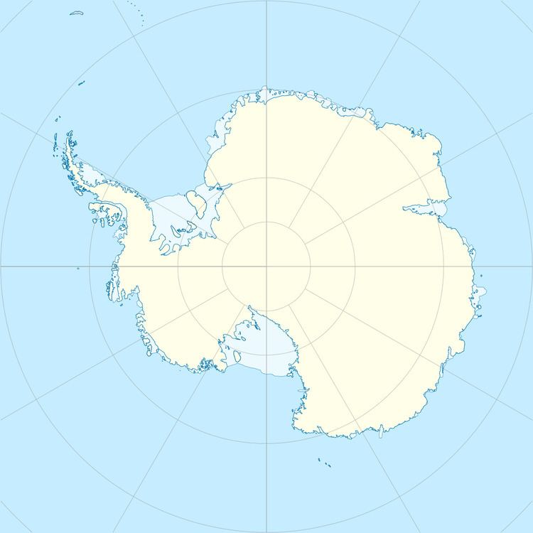
The Flatvaer Islands (Norwegian: Flatvær), also known as the Ongul Islands are a group of small islands, of which Ongul Island is the largest, lying at the east side of the entrance of Lützow-Holm Bay, 4 km from the coastline of Antarctica. They were mapped by Norwegian cartographers from air photos taken by the Lars Christensen Expedition, 1936–37, and named Flatvær (flat islands).
Map of Flatvaer Islands, Antarctica
References
Flatvaer Islands Wikipedia(Text) CC BY-SA
