
Country United States County Daggett GNIS feature ID 2584767 Area code 435 | Time zone Mountain (MST) (UTC-7) Elevation 2,109 m | |
 | ||
Area 5.928 km² (5.908 km² Land / 2 ha Water) Named for | ||
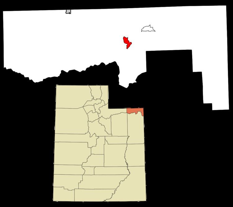
Flaming Gorge is a census-designated place in Daggett County, Utah, United States. The population was 83 at the 2010 census.
Contents
Geography
The CDP is located in the Flaming Gorge National Recreation Area, south of Flaming Gorge Reservoir and north of Greendale Junction.
Demographics
As of the census of 2010, there were 83 people residing in the CDP. There were 109 housing units. The racial makeup of the CDP was 97.6% White, 1.2% from some other race, and 1.2% from two or more races. Hispanic or Latino of any race were 4.8% of the population.
References
Flaming Gorge, Utah Wikipedia(Text) CC BY-SA