
Peak Hagelberg Country Germany | Elevation 659 ft (201 m) | |
 | ||
Similar Dahme, Burg Rabenstein, Burg Eisenhardt, Hagelberg, Spree | ||
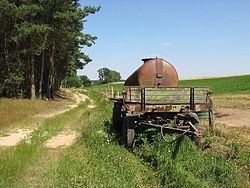
The Fläming Heath is a region and a hill chain that reaches over 100 km from the Elbe river to the Dahme River in the German states Saxony-Anhalt and Brandenburg. Its highest elevation is the Hagelberg (201 m). The name Fläming originates from the 12th century, when Flemish colonists came to settle in the region from the overcrowded cities of Flanders.
Map of Flaming, 14929 Treuenbrietzen, Germany
Today, the Fläming Heath is a rural area, which benefits from its vicinity to the Berlin metropolitan area. Tourism became an important economic sector. With its three nature parks (High Fläming Nature Park, Fläming Nature Park, and Nuthe-Nieplitz Nature Park), the focus is on walking, cycling and recreation in nature. Another tourist attraction is Flaeming-Skate, which is one of the longest inline-skating tracks in Europe (190 km).
The towns Ziesar, Bad Belzig, Niemegk, Treuenbrietzen, Jüterbog, Baruth/Mark, Dahme/Mark, Wittenberg, Loburg, Möckern, and Zerbst, as well as the municipalities Wiesenburg (Mark) and Rabenstein/Fläming, are situated in or at the border of the Fläming Heath.