
Country United States GNIS feature ID 1142172 Zip code 97390 Area code 541 | Time zone Pacific (PST) (UTC-8) Elevation 72 m Local time Sunday 9:00 AM | |
 | ||
Weather 7°C, Wind E at 3 km/h, 100% Humidity | ||
Fisher is an unincorporated community in rural Lincoln County, Oregon, United States. Fisher lies along Five Rivers Road, 9.2 miles (14.8 km) south of its intersection with Oregon Route 34. It is slightly north of the Lincoln–Lane county line in the Siuslaw National Forest. A stream called Five Rivers flows northwest through Fisher, about 12 miles (19 km) by water from the stream's mouth on the Alsea River. Route 34 runs along the Alsea River between Alsea and Waldport.
Contents
Map of Fisher, OR 97390, USA
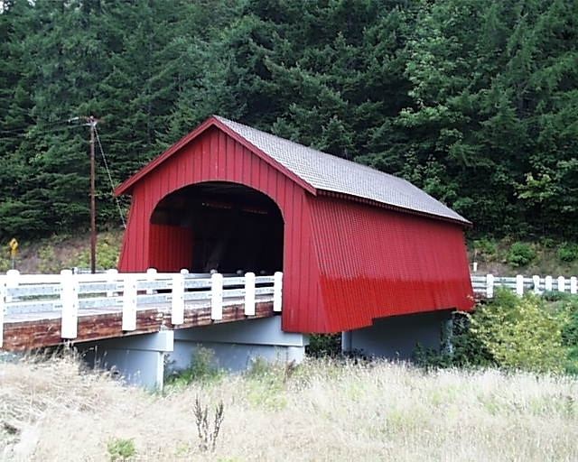
Fisher School Bridge crosses Five Rivers at Fisher. The bridge takes its name from Fisher Elementary School across Crab Creek Road, today a residence. Alternatively, the bridge is sometimes called Five Rivers Bridge.
A post office named Fisher was established in this area (44.293015, -123.844390) in 1892 and closed in 1942. Martin Johanson was the first postmaster.
Name
Fisher was named for the fisher (Martes pennanti), a cat-sized animal in the same family as the weasel, badger, otter, and mink. Once much more common in the virgin forests of the Oregon Coast Range, it was driven to near extinction in these mid-elevation mountains by habitat destruction, trapping, and poison baits meant to kill coyotes and wolves.