
Population 2,325. 2011 Census Civil parish Fishbourne Area 3.87 km² Dialling code 01243 | OS grid reference SU837046 Sovereign state United Kingdom Local time Sunday 3:35 PM | |
 | ||
Weather 12°C, Wind NW at 11 km/h, 89% Humidity | ||
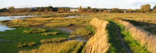
Fishbourne is a village, civil parish and electoral ward in the Chichester District of West Sussex, England and is situated two miles (3.2 km) west of Chichester. The name derives from fissaburna/fiseborne/fysshburn, all meaning "stream with fish."
Contents
Map of Fishbourne, UK
The parish has a land area of 387 hectares (956 acres). In the 2001 census 1953 people lived in 840 households, of whom 910 were economically active.There are two public houses and a railway station.
Roman palace
Fishbourne is the location of Fishbourne Roman Palace, a major archaeological site. On the site have been found remains dating to around the time of the Roman conquest of Britain in AD 43. One theory is that this was the site of one of the landings by the Romans designed to secure the 'friendly' tribe of the Atrebates, whose King Verica had fled his enemies for Roman protection. Subsequently, the wooden buildings were replaced by one of the greatest Roman palaces in the Roman world. The palace was damaged by fire at the end of the third century and never rebuilt.