OS grid reference NZ140343 Sovereign state United Kingdom Local time Sunday 3:28 AM | Unitary authority Postcode district DL15 Dialling code 01388 | |
 | ||
Weather 9°C, Wind S at 8 km/h, 97% Humidity | ||
Fir Tree is a village in County Durham, in England. It is west of Crook, near the River Wear.
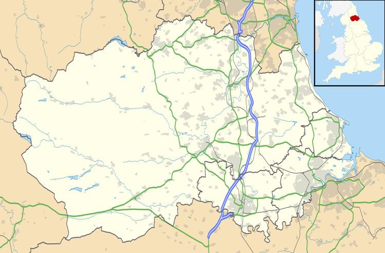
Map of Fir Tree, Crook, UK
Fir Tree has a petrol station and two pubs: The Duke of York and The Fir Tree Country Hotel. In the 2001 census Fir Tree had a population of 226. Wear Valley Council say the population census 2007 (for Wear Valley) was 314. It is approximately 2 mi from the small market town of Crook and 6 mi from the large market town Bishop Auckland. Approximately 1 mi northwest of the village is the World War II Harperley POW Camp 93.
References
Fir Tree, County Durham Wikipedia(Text) CC BY-SA
