OS grid reference SU737126 Post town WATERLOOVILLE Local time Saturday 9:42 PM | Sovereign state United Kingdom Postcode district PO8 Dialling code 023 UK parliament constituency Meon Valley | |
 | ||
Weather 8°C, Wind E at 6 km/h, 91% Humidity | ||
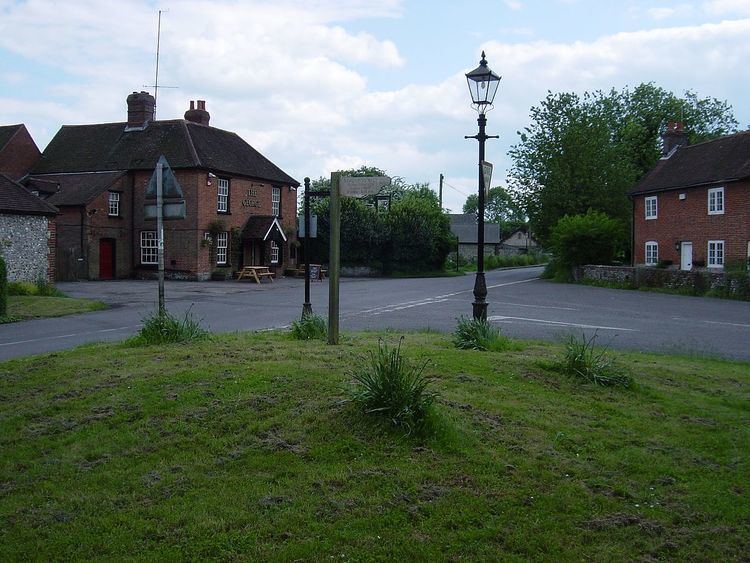
Finchdean is a hamlet in the East Hampshire district of Hampshire, England. It lies on the Hampshire/West Sussex border, 1.7 miles (2.7 km) east of Horndean.
Map of Finchdean, Waterlooville, UK
The origin of the place-name is from the Old English word finc and denu meaning valley of the finch (or of a man called Finc); the place-name appears as Finchesdene in 1167.
The nearest railway station is 1.1 miles (1.8 km) south of the village, at Rowlands Castle (where according to the Post Office the 2011 Census population was included).
Finchdean has retained its village pound.
References
Finchdean Wikipedia(Text) CC BY-SA
