
3-digit postal code prefix 622 Local time Saturday 4:18 PM | Time zone WAT (UTC+1) Area 2,208 km² | |
 | ||
Weather 35°C, Wind N at 11 km/h, 8% Humidity | ||
Fika is a Local Government Area in Yobe State, Nigeria. Its headquarters are in the town of Fika in the south of the area at11°17′00″N 11°18′29″E.
Contents
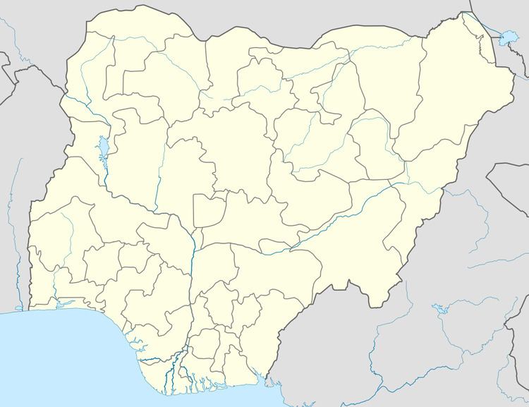
Map of Fika, Nigeria
It has an area of 2,208 km² and a population of 136,895 at the 2006 census.
The postal code of the area is 622.
Geography
The northeasterly line of equal latitude and longitude passes through the area close to Fika.
Gadaka is the largest town in the Fika LGA. It is located at about 12 km off the Potiskum-Gombe main road, about 55 km from the commercial city of Potiskum.
References
Fika, Nigeria Wikipedia(Text) CC BY-SA