
Established 1898 Elevation 359 m Local time Saturday 2:06 PM | Postcode(s) 6431 Founded 1898 Postal code 6431 | |
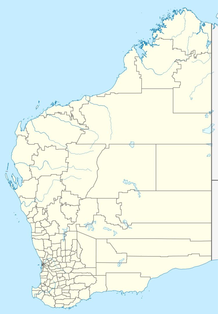 | ||
Location 620 km (385 mi) ENE of Perth25 km (16 mi) SE of Kalgoorlie Weather 25°C, Wind SE at 18 km/h, 36% Humidity Lga City of Kalgoorlie-Boulder | ||
Feysville is an abandoned town in the Goldfields-Esperance region of Western Australia. It is situated between Kalgoorlie and Kambalda just off the Goldfields Highway.
Map of Feysville WA 6431, Australia
Alluvial gold was found in the area in 1895 by the prospector Dennis O'Callaghan which sprked a gold rush on the Hampton Plains Estate lease. Another prospector and field manager, Captain Henry Fey, established the Feysville mine in 1896 and by 1897 the local progress association began to campaign for the town to be declared.
In the same year the town had a debating club and a cricket team and the first hotel was constructed in the town. The town was gazetted on 30 June 1898. The population of the town was 97 (90 males and 7 females) in 1898.
Land was set aside in 1919 for the development of a police station and court house but neither were ever built.