State Amapá Time zone UTC-4 Population 6,714 (2014) | Founded December 17, 1987 Area 5,047 km² Local time Friday 11:14 PM | |
 | ||
Weather 24°C, Wind N at 5 km/h, 100% Humidity | ||
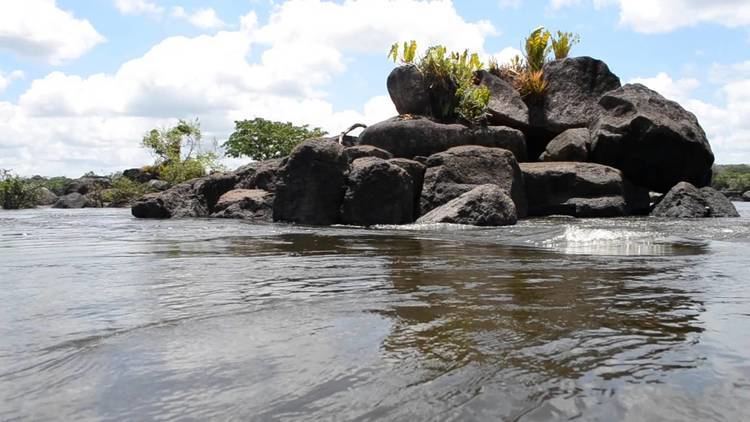
Ferreira Gomes is a municipality located in the center of the state of Amapá in Brazil. Its population is 6,714 and its area is 5,047 square kilometres (1,949 sq mi).
Map of Ferreira Gomes - State of Amap%C3%A1, Brazil
The municipality contains 3.64% of the 2,369,400 hectares (5,855,000 acres) Amapá State Forest, a sustainable use conservation unit established in 2006. It also contains 44.07% of the 460,353 hectares (1,137,560 acres) Amapá National Forest, a sustainable use conservation unit created in 1989.
References
Ferreira Gomes Wikipedia(Text) CC BY-SA
