
Population 1,625 (2011 census) Time zone AEST (UTC+10) Postal code 2295 | Postcode(s) 2295 Area 8.5 km² Local time Saturday 10:30 AM | |
 | ||
Location 173 km (107 mi) NNE of Sydney16 km (10 mi) N of Newcastle22 km (14 mi) SE of Raymond Terrace Weather 22°C, Wind SW at 14 km/h, 70% Humidity | ||
Fern Bay is the southern-most suburb of the Port Stephens local government area in the Hunter Region of New South Wales, Australia. It is located just north of Stockton, which is the only suburb of Newcastle that lies north of the Hunter River and to the east of the north arm of the Hunter River at the entrance to Fullerton Cove, a large body of water. To the east is the Tasman Sea. Despite the suburb only being 6 kilometres (3.7 mi) in a direct line from Newcastle, the need to cross the Hunter River results in Fern Bay being 16 km (9.9 mi) by road from the centre of the city.
Map of Fern Bay NSW 2295, Australia
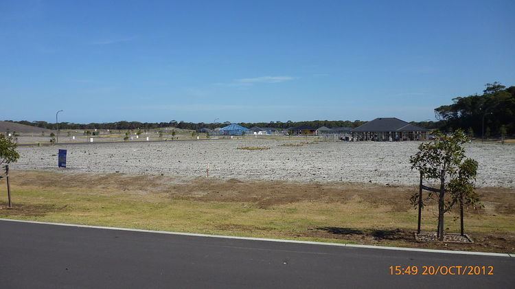
The area is undergoing a residential expansion program with a large development being built between Nelson Bay Road and Stockton Beach on land formerly used as a military weapons range.