
Country United States County Cimarron FIPS code 40-25850 Area 136 ha Zip code 73937 | Time zone Central (CST) (UTC-6) Elevation 1,356 m Population 93 (2010) Local time Friday 10:21 AM | |
 | ||
Weather 1°C, Wind E at 13 km/h, 63% Humidity | ||
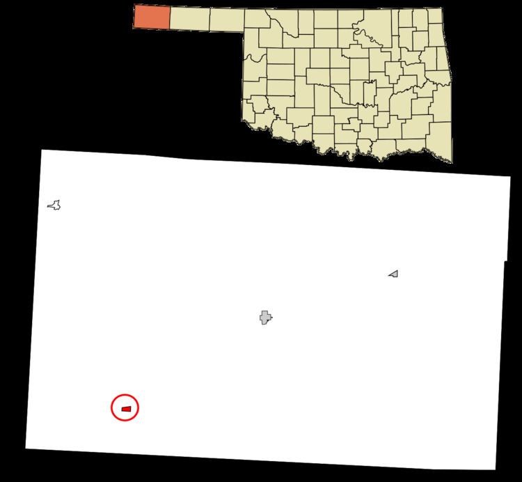
Felt is a small unincorporated community and census-designated place (CDP) in Cimarron County, Oklahoma, United States. As of the 2010 census it had a population of 93. It was named for C.F.W. Felt of the Santa Fe Railroad. Nearby is the Cedar Breaks Archeological District. The community is served by a post office (established July 16, 1926) and a school.
Map of Felt, OK 73937, USA
Felt is located in southwestern Cimarron County, near the western end of the Oklahoma Panhandle. U.S. Routes 56, 64, and 412 pass through the community, leading northeast 20 miles (32 km) to Boise City, the Cimarron County seat, and southwest 24 miles (39 km) to Clayton, New Mexico.
References
Felt, Oklahoma Wikipedia(Text) CC BY-SA