
Demonym(s) Carrilloportense Population 25,744 (2010) Municipality Felipe Carrillo Puerto | Elevation 20 m (70 ft) Area 13,806 km² Local time Friday 9:38 AM | |
 | ||
Time zone Central Standard Time (UTC-6) Weather 26°C, Wind E at 10 km/h, 67% Humidity Points of interest Sian Ka'an, Punta Allen, SCSTPunta Allen, Playa Manati, Playa Paso Caapechen | ||
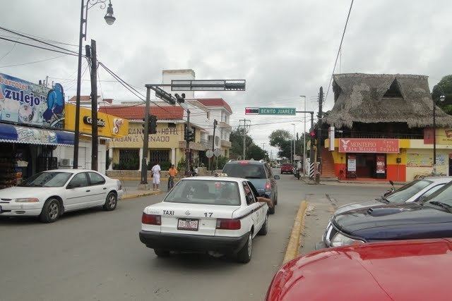
Felipe Carrillo Puerto is the municipal seat and largest city in Felipe Carrillo Puerto Municipality in the Mexican state of Quintana Roo. According to the 2010 census, the city's population was 25,744 persons, mostly of Maya descent.
Map of Felipe Carrillo Puerto, Quintana Roo, Mexico
The city of Felipe Carrillo Puerto was founded in 1850 by independent Maya people during the Caste War of Yucatán under the name Chan Santa Cruz. After it was conquered by Mexican troops in 1901, it was renamed "Santa Cruz del Bravo" before acquiring its present name. The Sian Ka'an Biosphere Reserve lies just east of the city.
References
Felipe Carrillo Puerto, Quintana Roo Wikipedia(Text) CC BY-SA