
Country Nigeria Time zone WAT (UTC+01) Area 7,315 km² ISO 3166 code ISO 3166-2:NG | Date created 3 February 1976 Website fct.gov.ng Capital Abuja Minister Mohammed Bello | |
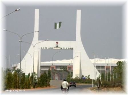 | ||
Colleges and Universities Baze University, Université de Parakou Points of interest Aso Rock, Zuma Rock, Abuja National Mosque, National Church of Nigeria, Chad Basin National | ||
The Federal Capital Territory, commonly known as FCT, or loosely as FCT-Abuja, is a federal territory in central Nigeria. Abuja, the capital city of Nigeria is located in this territory. FCT was formed in 1976 from parts of the states of Nasarawa, Niger, and Kogi. It is in the central region of the country. Unlike the States of Nigeria, which are headed by elected Governors, it is administered by the Federal Capital Territory Administration, headed by a minister appointed by the President.
Contents
Map of Federal Capital Territory, Nigeria
Geography
The territory is located just north of the confluence of the Niger River and Benue River. It is bordered by the states of Niger to the West and North, Kaduna to the northeast, Nasarawa to the east and south, and Kogi to the southwest.
Lying between latitude 8.25 and 9.20 north of the equator and longitude 6.45 and 7.39 east of Greenwich Meridian, Abuja is geographically located in the center of the country.
The Federal Capital Territory has a landmass of approximately 7,315 km2, and it is situated within the Savannah region with moderate climatic conditions.
Area councils
The territory is currently made up of six local councils, comprising the City of Abuja and five Local Government Areas, namely: