
OS grid reference SE863241 Sovereign state United Kingdom Postcode district DN14 Dialling code 01430 | Post town GOOLE Local time Friday 3:05 AM | |
 | ||
Weather 6°C, Wind S at 8 km/h, 81% Humidity | ||
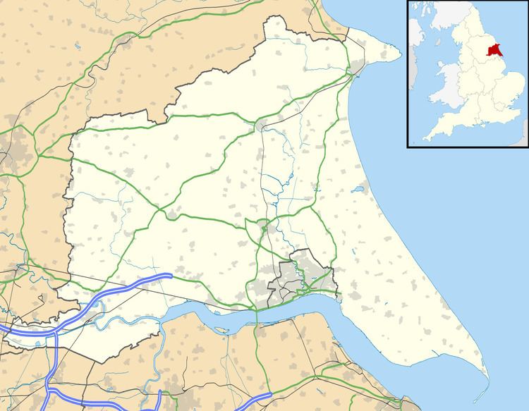
Faxfleet is a hamlet in the East Riding of Yorkshire, England. It is situated approximately 6 miles (10 km) west of Brough, and at the start of the Humber, on the north bank, where the River Ouse and the River Trent meet.
Map of Faxfleet, Goole, UK
With Yokefleet and Bellasize, Faxfleet forms part of the civil parish of Blacktoft. Faxfleet lies within the constituency of Haltemprice and Howden, an area placed as the 10th most affluent in the country in a 2003 Barclays Private Clients survey.
Faxfleet was the location of the Faxfleet Preceptory, a former community of the Knights Templar. It was one of Yorkshire's principal preceptories, valued at more than £290 (equivalent to £210,000 in 2015). when it was closed in 1308.
In 1823 Faxfleet was listed as in the parish of South Cave, and in the Wapentake of Harthill. Population was 163, with occupations including three farmers and a brick & tile maker. There was a gentleman who lived at the Hall, and two yeomen.