
- elevation 345 ft (105 m) | - elevation 0 ft (0 m) | |
 | ||
- location Long Island Sound, New Haven County, Connecticut, United States | ||
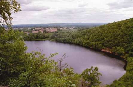
Farm River is a south-flowing river located entirely within the U.S. state of Connecticut. Because it begins as freshwater in its northern reaches and flows into tidal salt water at Long Island Sound, Farm River is by definition an estuary. The river is 16.5 miles (26.6 km) long.
Contents
Map of Farm River, East Haven, CT, USA
Course
From its northern reaches, the river flows southward into the town of East Haven where it becomes the dividing line between East Haven and Branford. Along its route, the river supplies water via tunnel to Lake Saltonstall, a public water source owned by the South Central Connecticut Regional Water Authority. Near the river's mouth it flows past Farm River State Park.
Other names
The USGS lists many alternate names for the Farm River: Beaver River, Deborah River, Deborah's Stream, East Haven River, Foxon River, Great River, Ironworks River, Mainnuntaquck, Moe River, Muddy River, Scotch Cap River, Stony River, and Tapamshasick.