Listing TuMP OS grid SU616472 Elevation 208 m | Topo map OS Landranger Prominence 34 m | |
 | ||
Farleigh Hill is one of the highest points in the county of Hampshire, England. It is part of the Hampshire Downs and reaches a height of 208 metres (682 ft) above sea level. Its prominence of 34 metres (112 ft) just qualifies it as a ('P30') TuMP.
Map of Farleigh Hill, Basingstoke, UK
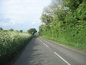
Farleigh Hill rises about 1 kilometre southeast of the M3 and the outskirts of Basingstoke in Hampshire. The B 3046 runs over the hill from southwest to northeast, passing within about 100 metres of the summit at a crossroads. In the vicinity are a number of houses and lodges, and Farleigh House School and Farleigh Wallop lie on the southeastern spur of the hill. The village of Cliddesden lies on the same road about 2 kilometres to the northeast.
References
Farleigh Hill Wikipedia(Text) CC BY-SA
