
Elevation 750 m (2,460 ft) Area 427 km² Area code 03863 | Demonym(s) Famaillense Capital Famaillá | |
 | ||
Website | ||
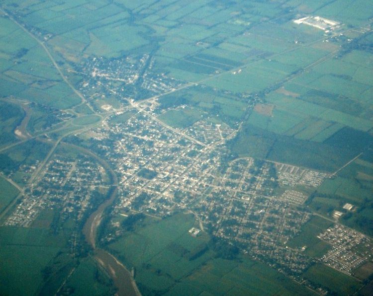
Famaillá Department is a department located in the center-west of the Tucumán Province, Argentina. Its 2001 population was 30,951, mainly located in the east. The department’s economic base is agriculture. The National Agricultural Technology Institute (Spanish: Instituto Nacional de Tecnología Agropecuaria), commonly known as INTA, has one of its experimental stations in the area. The Department seat is the city of Famaillá.
Contents
Geography
The Aconquija Range lies across its west portion whereas the plains extend toward the east. The Famaillá (central area), Colorado (north), and Caspichango (south) rivers are the most important waterways, the two latter ones forming the department’s natural boundaries with Lules, Leales and Monteros. Famaillá has a total area of 427 km².