Last eruption Unknown Province Catamarca Province | Elevation 5,890 m Mountain range Andes | |
 | ||
Similar Cordón del Azufre, Cerro El Cóndor, Caichinque, Cochiquito Volcanic Group, Cerro del Azufre | ||
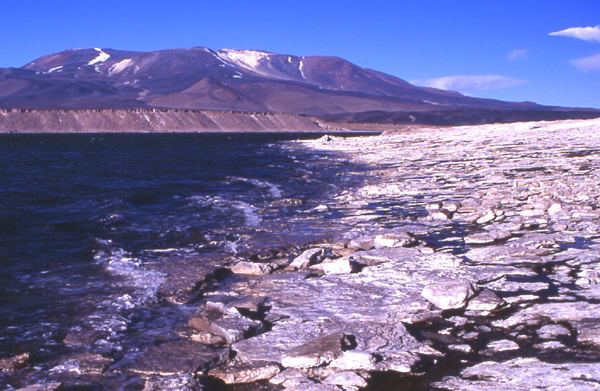
Falso Azufre is a complex volcano at the border of Argentina and Chile. It is elongated in east-west direction and contains craters and lava domes. The highest summit Cerro Falso Azufre lies at the western end in Chile, which has mostly generated pyroclastic material from craters. The probably youngest segment of the volcano is the eastern section in Argentina, where two lava domes and two cones are located.
Map of Falso Azufre, Copiap%C3%B3, Atacama Region, Chile
Rocks erupted by Falso Azufre are andesitic. They contain hornblende and pyroxene with a total content of 58-61% of SiO2. Andesite rocks at the western foot of the volcano have been dated 0.7 ± 0.2 million years ago.
References
Falso Azufre Wikipedia(Text) CC BY-SA
