
District Baabda Local time Thursday 8:11 AM | Elevation 1,250 m | |
 | ||
Weather 13°C, Wind E at 11 km/h, 37% Humidity | ||
Falougha-Khalouat (Arabic: فالوغا) is a municipality in the Baabda District of Mount Lebanon Governorate, Lebanon. The municipality consists of the villages of Falougha and Khalouat Falougha. It is 35 kilometers east of Beirut. Falougha-Khalouat has an average elevation of 1,250 meters above sea level and a total land area of 1,563 hectares. In 2010, Falougha had 2,368 registered voters while Khalouat Falougha had 485.
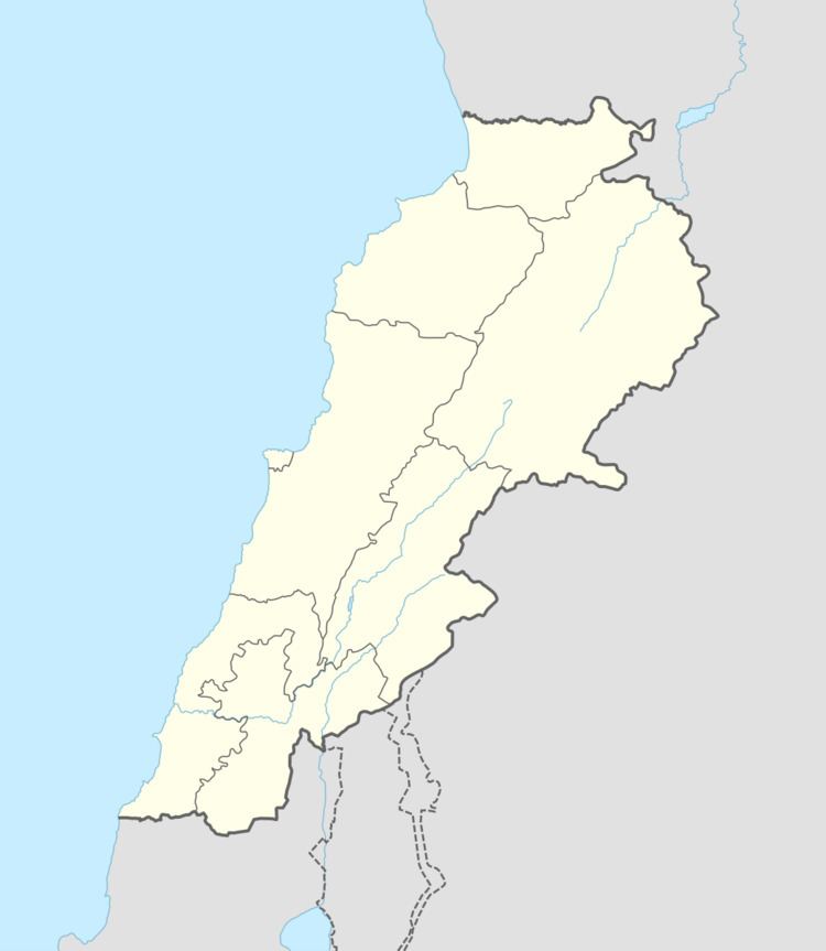
Map of Falougha, Lebanon
There is a public school in the village with 74 students as of 2007 and a local hospital with thirty beds. There are seven companies that each employ over five employees operating in Falougha. Falougha has a mixed population of Druze and Christians from the Maronite, Melkite (Greek Catholic) and Greek Orthodox denominations, while Khalouat Falougha's inhabitants are entirely Druze.