
- elevation 4,274 ft (1,303 m) Length 19 km Country United States of America | - elevation 4,175 ft (1,273 m) | |
 | ||
- location just downstream from La Pine State Park | ||
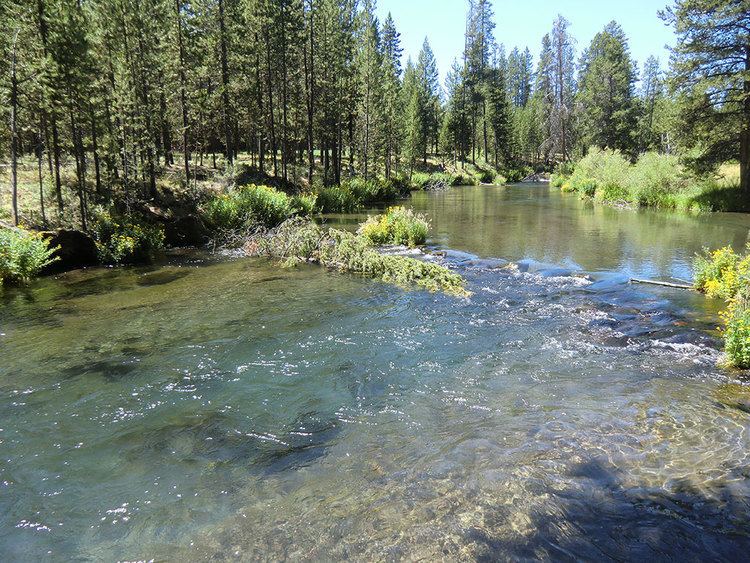
The Fall River is a tributary of the Deschutes River in the Deschutes National Forest in Deschutes County, Oregon, United States. The source is a spring approximately 2 miles (3 km) northwest of Pringle Falls. The river flows to the northeast and is about 12 miles (19 km) long. Fly fishing is permitted.
Map of Fall River, Oregon, USA
There is a trail along the river, and also a campground about one mile downstream from the head of the river; a guard station at the head of the river can be rented.
Fall River Falls is on the river within La Pine State Park.
The Fall River also hosts the Fall River Hatchery, a state-run fish hatchery which raises rainbow trout, brook trout and cutthroat trout fingerling for stocking programs throughout the state. The river has one named tributary, Indian Creek, which enters from the left above the hatchery.