
Local time Sunday 4:45 AM | ||
 | ||
Weather 9°C, Wind E at 2 km/h, 91% Humidity | ||
Fall creek oregon 2013
Fall Creek is an unincorporated community in Lane County, Oregon, United States, southeast of Eugene/Springfield. Nearby communities include Dexter to the south, Lowell to the southeast, and Jasper to the northwest.
Contents
Map of Fall Creek, OR 97438, USA
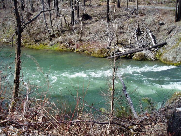
The locale was named for Fall Creek, a stream originating in Willamette National Forest and flowing into the Middle Fork Willamette River just below the community. Fall Creek Lake lies upstream on Fall Creek. There is no reservoir on Little Fall Creek.
Fall Creek is in the zip code 97438.
Covered bridges
The Pengra Bridge, a covered bridge built in 1938, is about 1 mile (2 km) west of Fall Creek, while the Unity covered bridge (1936) is about 2 miles (3 km) to the southeast. Lane County has the largest number of covered bridges in Oregon, and several others are within a short distance of Fall Creek.
Population
According to the 2000 Census, there were 779 males and 774 females in Fall Creek. Of the total population of 1553, there were 1461 Whites, 6 Blacks, 6 Asians, and 6 Pacific Islanders, 8 Native Americans, and 66 people of two or more races.