
Country Canada Quadrant NE Established 1979 Area 210 ha Local time Sunday 4:46 AM | City Calgary Ward 5 Annexed 1961 Province Alberta Population 10,229 (2006) | |
 | ||
Weather -17°C, Wind N at 8 km/h, 81% Humidity Restaurants Eggs & More, Enerje Bubble Tea & Cafe, Shawarma Palace, Haveli Sweets & Restaurant, The Meal Tree | ||
Falconridge is a residential neighbourhood in the north-east quadrant of Calgary, Alberta. It is bounded by Falconridge Boulevard and 44 Street E to the west, 64 Avenue N to the north, 68 Street E to the east and McKnight Boulevard to the south.
Contents
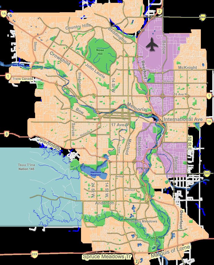
Map of Falconridge, Calgary, AB, Canada
The area was part of the Municipal District of Rocky View until it was annexed to the City of Calgary in 1961. Falconridge was established in 1979. It is represented in the Calgary City Council by the Ward 5 councillor.
Demographics
In the City of Calgary's 2012 municipal census, Falconridge had a population of 7004103810000000000♠10,381 living in 7003347800000000000♠3,478 dwellings, a 3.4% increase from its 2011 population of 7004100430000000000♠10,043. With a land area of 2.2 km2 (0.85 sq mi), it had a population density of 4,720/km2 (12,220/sq mi) in 2012.
Residents in this community had a median household income of $48,512 in 2000, and there were 24.5% low income residents living in the neighbourhood. As of 2000, 32% of the residents were immigrants. A proportion of 6.5% of the buildings were condominiums or apartments, and 33% of the housing was used for renting.
Education
The community is served by Falconridge Elementary, Grant MacEwan Elementary, O. S. Geiger Elementary and Terry Fox Junior High public schools, as well as by John XXIII Elementary & Junior High, Bishop McNally High School and John Paul II Elementary School (Catholic).