
Country United States Time zone CST (UTC-6) Elevation 191 m Local time Sunday 12:32 AM | Established November 6, 1849 ZIP codes 61283, 61344, 61361 Area 94.25 km² Population 375 (2010) | |
 | ||
Weather -4°C, Wind N at 8 km/h, 36% Humidity | ||
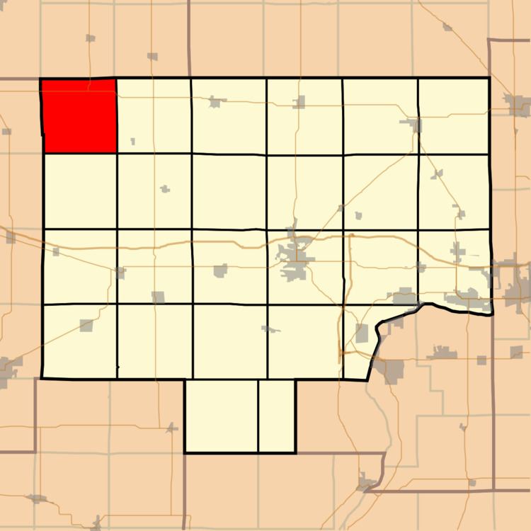
Fairfield Township is one of twenty-five townships in Bureau County, Illinois, USA. As of the 2010 census, its population was 375 and it contained 145 housing units.
Contents
- Map of Fairfield Township IL USA
- Geography
- Unincorporated towns
- Cemeteries
- Major highways
- Airports and landing strips
- Landmarks
- School districts
- Political districts
- References
Map of Fairfield Township, IL, USA
Geography
According to the 2010 census, the township has a total area of 36.39 square miles (94.2 km2), all land.
Unincorporated towns
(This list is based on USGS data and may include former settlements.)
Cemeteries
The township contains these three cemeteries: Amish, Anderson Family and Yorktown.
Major highways
Airports and landing strips
Landmarks
School districts
Political districts
References
Fairfield Township, Bureau County, Illinois Wikipedia(Text) CC BY-SA