
Population 1,130 (2011) Sovereign state United Kingdom Area 23.64 km² Dialling code 01580 | OS grid reference TQ799238 Post town ROBERTSBRIDGE Local time Friday 1:16 PM District Rother | |
 | ||
Weather 9°C, Wind SE at 11 km/h, 91% Humidity | ||
Ewhurst is a civil parish in the Rother District of East Sussex, England; its main settlement is the village of Ewhurst Green, which is located 10 miles (16 km) north of Hastings in the valley of the River Rother. The parish is a relatively large one in area, and includes the settlements of Staplecross and Cripps Corner. The former A229 road (now the B2244) crosses the parish from north to south.
Contents
Map of Ewhurst, UK
Although Bodiam station is the present terminus of the Kent and East Sussex Railway, and lies within the parish, the castle itself is in the neighbouring parish of Bodiam.
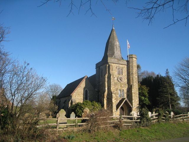
The parish church is dedicated to St James the Great. The public house in Ewhurst Green is The White Dog.
Governance
Ewhurst is part of the electoral ward called Ewhurst and Sedlescombe. The population of this ward at the 2011 census was 2,606.