
Population 523 (2011 Census) Unitary authority Country England Local time Friday 7:15 AM Ceremonial county Bedfordshire UK parliament constituency North East Bedfordshire | OS grid reference TL201512 Region East Sovereign state United Kingdom Dialling code 01767 Post town Sandy | |
 | ||
Weather 7°C, Wind SE at 18 km/h, 85% Humidity | ||
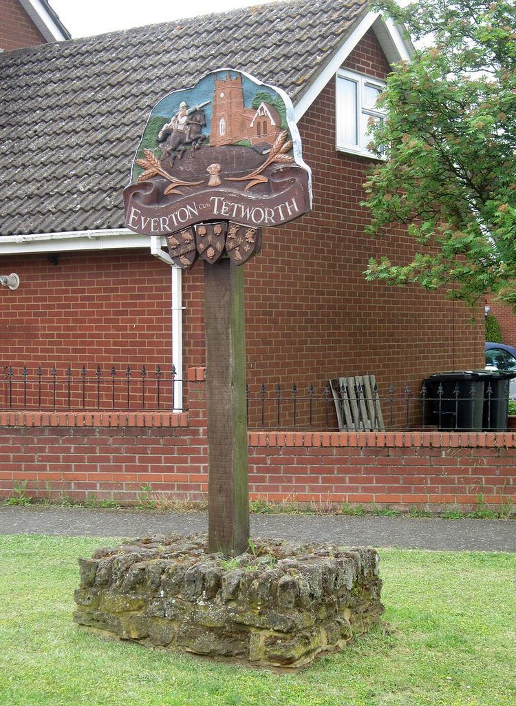
Everton is a small village of about 200 dwellings (including outlying) and civil parish in the Central Bedfordshire district of Bedfordshire, England. It is located close to the border with Cambridgeshire, a little over two miles north-east of the market town of Sandy.
Map of Everton, UK
The name Everton comes from Old English and means farmstead where wild boars are seen.
Everton no longer has a shop (it having closed c. 1995) but is home to a pub, local church, and a lower school. There is a large recreation ground which contains both full-sized and five-a-side football pitches, a basketball net, and a fenced-in children's play area.
The village is situated on top of Tempsford Hill on the Greensand Ridge Walk and is close to the WWII airfield RAF Tempsford.
St Mary's Church as it exists now is substantially 12th Century although the tower, nave clerestory and south porch are 15th Century.
The public house is the Thornton Arms.
The school is Everton Lower School.