
 | ||
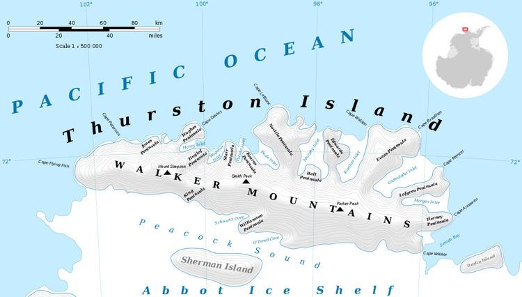
Evans Point is an ice-covered point fronting on Peacock Sound, lying 15 nautical miles (28 km) west-northwest of Von der Wall Point on the south side of Thurston Island. It was first plotted from air photos taken by U.S. Navy Operation Highjump in December 1946, and was named by the Advisory Committee on Antarctic Names for Richard Evans, an oceanographer on the USS Burton Island in this area during the U.S. Navy Bellingshausen Sea Expedition, February 1960.
Maps
References
Evans Point Wikipedia(Text) CC BY-SA