
ZIP codes 50846, 50849 Elevation 398 m Local time Thursday 5:20 AM | Time zone CST (UTC-6) GNIS feature ID 0467800 Area 92.18 km² Population 88 (2010) | |
 | ||
Weather -2°C, Wind NE at 19 km/h, 71% Humidity | ||
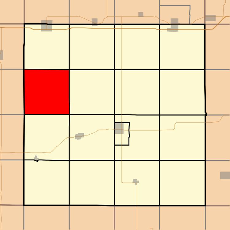
Eureka Township is one of the seventeen townships of Adair County, Iowa, United States. At the 2010 census, its population was 88.
Contents
- Map of Eureka IA USA
- History
- Geography
- Cities
- Extinct towns
- Cemeteries
- Major highways
- Lakes
- Landmarks
- School districts
- Political districts
- References
Map of Eureka, IA, USA
History
Eureka Township was organized in 1870. "Eureka!" is said to have exclaimed by an early settler when he discovered coal within the township borders.
Geography
According to the United States Census Bureau, Eureka Township covers an area of 35.59 square miles (92.19 square kilometers); of this, 0.05 square miles (0.13 square kilometers) or 0.14 percent is water.
Cities
Extinct towns
Cemeteries
The township contains one cemetery, Eureka.
Major highways
Lakes
Landmarks
School districts
Political districts
References
Eureka Township, Adair County, Iowa Wikipedia(Text) CC BY-SA